General Facts:Total Area: 23,200 sq km
Land Area: 23,180 sq km Water Area: 20 sq km Size (comparative to the U.S.): Slightly smaller than Massachusetts Bordering Countries: Eritera, Ethiopia, Somalia Total distance of Land Boundaries: 516 km Total distance of Coastline: 314 km Climate: Desert; torrid, dry. Terrain: Coastal plain and plateau separated by central mountains. Point of Lowest Elevation: Lac Assal -155 m Point of Highest Elevation: Moussa Ali 2,028 m ALL Facts and statistics listed above are From: https://www.cia.gov/library/publications/the-world-factbook/geos/dj.html 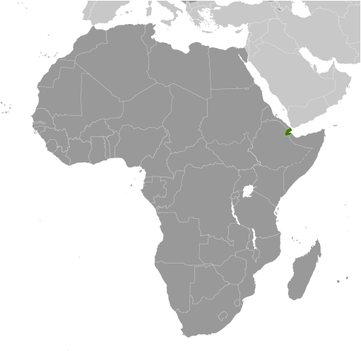
Photo Source: https://www.cia.gov/library/publications/the-world-factbook/maps/dj_largelocator_template.html
|
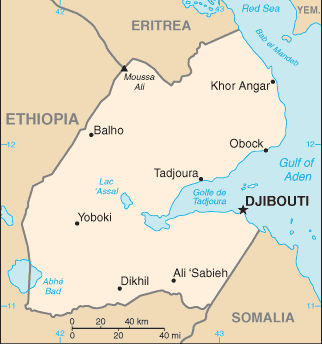
Photo Source: https://www.cia.gov/library/publications/the-world-factbook/maps/maptemplate_dj.html
|
